
- Homepage
- Binding
- 1 / 2 Leather (2)
- 3 / 4 Leather (2)
- Brochure / Pamphlet (4)
- Cloth (87)
- Disbound (3)
- Fine Binding (52)
- Hard Back (2)
- Hard Cover (4)
- Hardback (6)
- Hardcover (887)
- Hardcover Sheepskin (2)
- Hardcover W / Jacket (5)
- Hardcovers (2)
- Leather (249)
- Original Blue Cloth (2)
- Quarter Leather (3)
- Softcover (3)
- Softcover, Wraps (41)
- ... (3522)
- Certification
- Composition
- Grade
- Language
- Year
Pre-Civil War Orange Rockland County Map

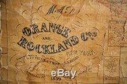

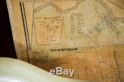
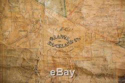
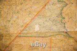
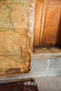
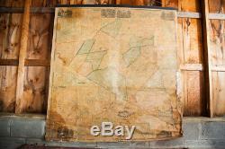
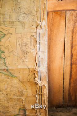

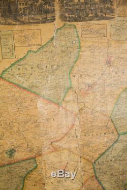
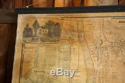


Incredible 1859 pre civil war huge canvas pull down wall map of New York State's rock land and Orange County including popularly collected port Jervis. Truly magnificent piece that is not something you come across every day. Condition is good considering its age but of course there are some typical signs of use and age such as spotting, browning and rips and especially in the bottom areas there is some issue with water damage and peeling.
Quite the show stopper for your wall! We have included many photographs of this piece so that you can get an accurate sense of it and take a look at the plethora of information it includes. Measures approximately 64" wide x 69" high including dowels. : Also Photographed; Eames Venice Label Parchment Chair. The item "Pre-Civil War Orange Rockland County Map" is in sale since Saturday, July 22, 2017.This item is in the category "Antiques\Maps, Atlases & Globes\North America Maps". The seller is "onhannex" and is located in Katonah, New York. This item can be shipped to United States.
- Condition: Used
- Year: 1859
- Country/Region: United States of America
- US State: New York

